搜索结果: 1-15 共查到“理学 Land cover”相关记录43条 . 查询时间(0.102 秒)
SEMI AUTOMATED LAND COVER LAYER UPDATING PROCESS UTILIZING SPECTRAL ANALYSIS AND GIS DATA FUSION
NTDB (National Topographic Data Base), Segmentation, Classification, nDSM, data fusion
2018/5/11
Technological improvements made in recent years of mass data gathering and analyzing, influenced the traditional methods of updating and forming of the national topographic database. It has brought a ...
APPLICATION OF MACHINE LEARNING IN URBAN GREENERY LAND COVER EXTRACTION
Neural Network Machine Learning Greenery Land Cover Auto Extraction Multispectral Image
2018/5/15
Urban greenery is a critical part of the modern city and the greenery coverage information is essential for land resource management, environmental monitoring and urban planning. It is a challenging w...

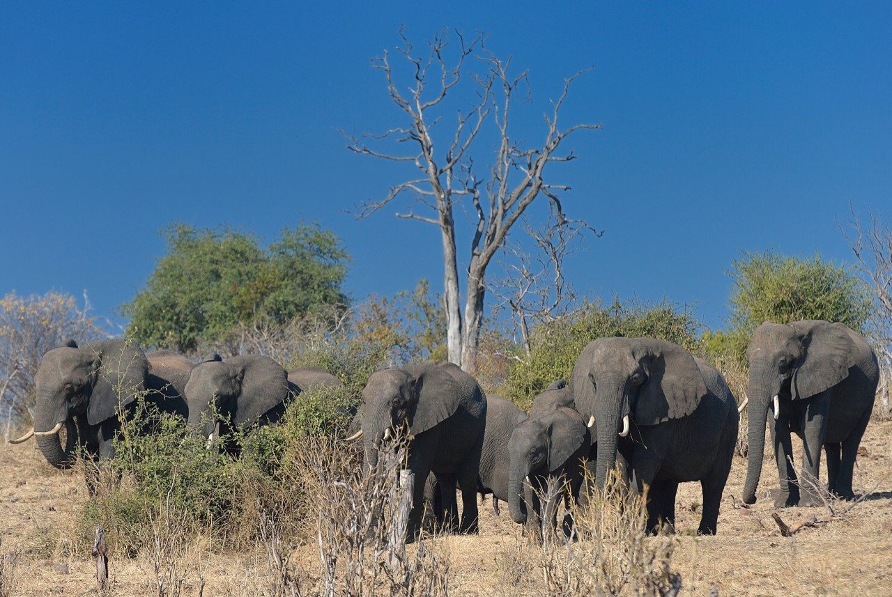
Virginia Tech researchers explore causes of land cover change in African savannas(图)
Virginia Tech researchers land cover change African savannas
2017/11/23
A new study by Virginia Tech researchers tracks land cover changes in the Chobe district of Northern Botswana and provides information that will allow governments and nonprofit organizations to improv...

Land cover change in Botswana savannas:Don't blame the elephants(图)
Land cover change Botswana savannas Don't blame the elephants
2017/11/23
Why are drylands changing in the Chobe district of Northern Botswana? A new study tracks differences in the savanna there across 30 years, and provides information that will allow governments and non-...
HySenS data exploitation for urban land cover analysis
hyperspectral remote sensing urban land use vegetation distribution classification
2015/9/7
This paper addresses the use of HySenS airborne hyperspectral data for environmental urban monitoring. It is known that hyperspectral data can help to characterize some of the relations between soil c...
Plant functional type classification for earth system models:results from the European Space Agency's Land Cover Climate Change Initiative
Plant functional type classification earth system models European Space Agency Land Cover Climate Change Initiative
2015/8/6
Global land cover is a key variable in the earth system with feedbacks on climate, biodiversity and natural resources. However, global land cover data sets presently fall short of user needs in provid...
Spatially Distributed Watershed Mapping and Modeling: Thermal Maps and Vegetation Indices to Enhance Land Cover and Surface Microclimate mapping (part 1)
surface temperature vegetation indices Landsat land cover microclimate unsupervised classification
2015/8/6
The extent and type of watershed cover affects the movement of water in the hydrologic cycle, thus accurate representation of the physical and biological features of the landscape within the watershed...
Land Use/Land Cover Changes and Groundwater Potential Zoning in and around Raniganj coal mining area, Bardhaman District, West Bengal - A GIS and Remote Sensing Approach
Land Use Land Cover Groundwater Zoning
2015/8/6
The Raniganj area has a long history of coal mining starting from 1744. This has resulted in major change in land use pattern and high groundwater abstraction leading to drinking water crisis especial...
A RATIONAL APPROACH TO DIGITAL ANCILLARY DATA ACCESS AND VISUALIZATION IN LAND COVER, LAND USE PROJECTS
Land Cover Land Use Interpretation aerial photographs Rectification Orthorectification database GIS
2015/7/29
During the last decade many national and regional Land Cover/Land Use projects are implemented based on computer aided satellite
image interpretation. An essential procedure for the European CORINE ...
CHANGES IN THE LAND COVER AND LAND USE OF THE ITACAIúNAS RIVER WATERSHED, ARC OF DEFORESTATION, CARAJáS, SOUTHEASTERN AMAZON
Landsat, change detection, object based image analysis
2015/5/7
Human actions are changing the Amazon’s landscape by clearing tropical forest and replacing it mainly by pasturelands. The focus of this work is to assess the changes in the Itacaiúnas River watersh...
MAPPING LAND COVER IN THE TAITA HILLS, SE KENYA, USING AIRBORNE LASER SCANNING AND IMAGING SPECTROSCOPY DATA FUSION
GEOBIA LCCS Hyperspectral data
2015/5/7
The Taita Hills, located in south-eastern Kenya, is one of the world’s biodiversity hotspots. Despite the recognized ecological importance of this region, the landscape has been heavily fragmented d...
CREATION OF A HIGH-RESOLUTION PRODUCT CLC2006_BACKDATING BY A BACKWARD LOOK FROM THE DIGITAL LAND COVER MODEL DLM-DE2009 TO 2006 - A CONTRIBUTION TO THE GERMAN CORINE LAND COVER 2012 PROJECT WITHIN A BOTTOM-UP APPROACH
CORINE Land Cover 2012 Backdating Bottom-Up
2015/5/7
For the update 2012 of CORINE Land Cover, in Germany a new approach has been developed in order to profit from the higher accuracies of the national topographic database. In agreement between the Fe...
Analysis of land cover change and its driving forces in a desert oasis landscape of Xinjiang, northwest China
Drought warming land cover extreme drought desert oasis the landsat images traditional vegetation
2015/1/6
The combined effects of drought, warming and the changes in land cover have caused severe land degradation for several decades in the extremely arid desert oases of southern Xinjiang, northwest China....
Land Use/Land Cover Changes and Groundwater Potential Zoning in and around Raniganj coal mining area, Bardhaman District, West Bengal - A GIS and Remote Sensing Approach
Land Use Land Cover Groundwater Zoning Raniganj coal mining GIS Remote Sensing West Bengal Geographic Information System
2015/1/4
The Raniganj area has a long history of coal mining starting from 1744. This has resulted in major change in land use pattern and high groundwater abstraction leading to drinking water crisis especial...
Spatially Distributed Watershed Mapping and Modeling: Thermal Maps and Vegetation Indices to Enhance Land Cover and Surface Microclimate mapping (part 1)
microclimate unsupervised classification
2015/1/4
The extent and type of watershed cover affects the movement of water in the hydrologic cycle, thus accurate representation of the physical and biological features of the landscape within the watershed...

