搜索结果: 1-3 共查到“测绘科学技术 Greenland Ice Sheet”相关记录3条 . 查询时间(0.051 秒)
STUDYING AND MONITORING THE GREENLAND ICE SHEET USING GIS TECHNIQUES
GIS Remote Sensing Mass Balance Accumulation Rate Global Warming Laser Altimetry Subglacial Topography DEM
2015/2/3
Glaciers and ice sheets are the most important hydrological resources on Earth and play an important role in the global
climate system. The Greenland Ice Sheet stores 9 % of the Earth’s fresh water s...

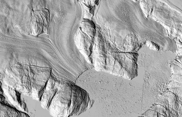
The highest-resolution satellite images ever taken of that region are making their debut. And while each individual pixel represents only one moment in time, taken together they show the ice sheet as ...
Different Melt Regimes Indicated by Surface Albedo Measurements at the Greenland Ice Sheet Margin – Application of TM Image
Different Melt Regimes Indicated Surface Albedo Measurements at the Greenland Ice Sheet Margin Application of TM Image
2014/4/15
Different Melt Regimes Indicated by Surface Albedo Measurements at the Greenland Ice Sheet Margin – Application of TM Image.

