搜索结果: 1-2 共查到“摄影测量与遥感技术 Now in HD”相关记录2条 . 查询时间(0.078 秒)
LANE LEVEL LOCALIZATION; USING IMAGES AND HD MAPS TO MITIGATE THE LATERAL ERROR
Lane Level Localization Road Boundaries Map Matching Lane Matching
2017/7/12
In urban canyon where the GNSS signals are blocked by buildings, the accuracy of measured position significantly deteriorates. GIS databases have been frequently utilized to improve the accuracy of me...

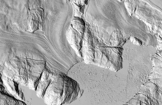
The highest-resolution satellite images ever taken of that region are making their debut. And while each individual pixel represents only one moment in time, taken together they show the ice sheet as ...

